Proof of every phase of your build — before it's buried.
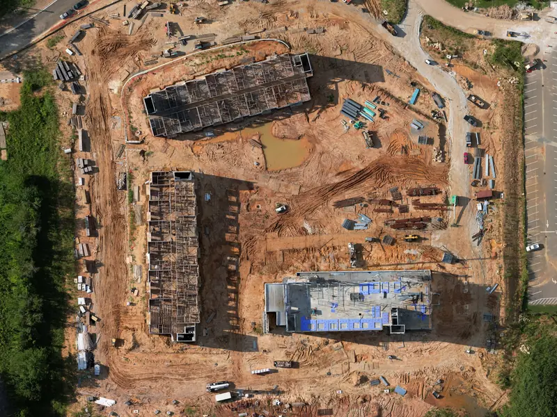
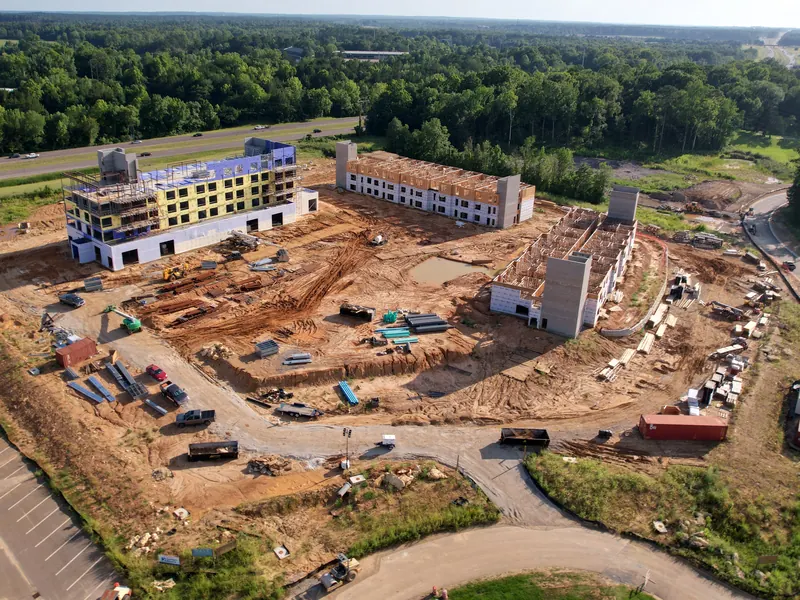
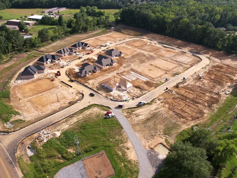
Monthly drone maps of every outdoor job you're running. Check all your sites from your desk, send the owner one link, and keep a dated record of what got buried. We fly and deliver. Your team learns nothing new.
Free for outdoor commercial jobs in Central Mississippi, one per company. Farther out? We travel across the Southeast. Just ask.


- FAA Part 107Certified pilot
- InsuredOn every flight
- 1,000+ hoursCommercial flight time
- 3 business daysFlight to map link
Claim your free baseline map
Wherever your job is today, that's your baseline. Every flight after it shows exactly what changed.
- I call you within one business day
We confirm the site, access, and your safety rules.
- I fly your job
Insured, checked in with your super, and out of your crew's way.
- Your map link lands within 3 business days
If it's useful, we talk about covering the rest of the build, and your baseline becomes month one of the record.
Rather email? [email protected]
What you get every month
The Groundbreak-to-Closeout Site Record: one permanent link for the life of your build.
- Baseline flightWhere your record starts. Before dirt moves on new jobs, or wherever you are on jobs already running.
- Monthly site mapThe whole site from above, dated, every month.
- Same-spot photosSame angles every month, so changes are obvious.
- 60-second progress clipReady to forward to the owner.
- "What Changed" one-pagerThe month on one page. Bring it to the OAC meeting.
- Cover-up flightsBefore pours and backfill. Proof of what's underneath.
- One permanent linkEverything in one place. Opens on any phone. No login, no app.
- Files you ownDownload full-resolution maps and photos anytime. Drop them into Procore or your closeout package.
On time, or that month is free.
Your record lands within 3 business days of every flight. If it's late, you don't pay for that month.
- Month-to-month
- Cancel anytime
- Keep every link forever
Running more than one job? Each site gets its own record. Start with one.
Claim your free baseline mapQuestions GCs ask
"Our supers already take photos."
Photos show a corner. Our map shows the whole site from above, from the same view every month, so you see exactly what changed. View it all on your job's private link, or download the files and drop them into Procore.
"Who's liable if something happens on my site?"
FAA Part 107 certified and insured. You get a certificate of insurance before the first flight. I follow your site safety rules, check in with the super, and stay clear of active work.
"Is this survey-grade?"
No, and I won't pretend it is. This is a visual record for progress, owner updates, and documentation. It doesn't cover boundaries, staking, or volumes. That's your surveyor's job.
"What's the catch with the free map?"
There isn't one. No contract, no card. The free map is the fastest way to show you what you'd get every month. If you want the monthly record after that, you get one flat monthly price per site on the call, with nothing added later.
Who's flying your job
I drive to your site, check in with your super, and stay out of your crew's way. You deal with me directly, start to finish. No call center, no rotating pilots.
- Pilot
- Hayden Moore
- Flight time
- 1,000+ commercial inspection hours
- Certification
- FAA Part 107
- Education
- Aviation degree
- Coverage
- Insured on every flight
- Based in
- Brandon, MS
Or email Hayden at [email protected]
Recent flights